| This article does not cite any sources. Please help improve this article by adding citations to reliable sources. Unsourced material may be challenged and removed. Find sources: "Afon Lledr" – news · newspapers · books · scholar · JSTOR (April 2013) (Learn how and when to remove this message) |
| Afon Lledr | |
|---|---|
 Afon Lledr from the bridge at Pont-y-Pant Afon Lledr from the bridge at Pont-y-Pant | |
 | |
| Location | |
| Country | Wales |
| Physical characteristics | |
| Source | |
| • location | the eastern slopes of Ysgafell Wen, which lies about 3 km NE of Cnicht |
| Mouth | |
| • location | confluence with River Conwy |
| Length | 16 km (9.9 mi) |

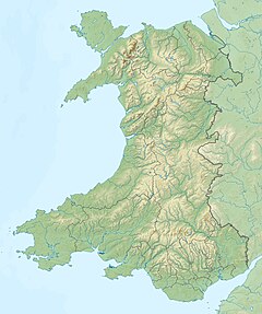
The Afon Lledr (or the River Lledr) is a river in north-west Wales and the second major tributary of the River Conwy. It is about 10 miles or 16 km long, and flows in a generally easterly direction.
The Lledr has its source on the eastern slopes of Ysgafell Wen, which lies about 3 km NE of Cnicht. It initially flows in a north-easterly direction towards Blaenau Dolwyddelan, where Ceunant Ty'n y Ddol joins it, then flows under the Roman Bridge (Welsh: Pont-y-Sarn-Ddu) and past Dolwyddelan, where Afon Penamnen joins it. It continues to the north-east past Pont-y-Pant and then east along the Lledr Valley, running parallel to the A470 and the railway line from Blaenau Ffestiniog to Llandudno. This line has stations in the Lledr Valley at Roman Bridge, Dolwyddelan, and Pont-y-Pant. The river joins the River Conwy to the south of Betws-y-Coed.

References
This article related to a river in Wales is a stub. You can help Misplaced Pages by expanding it. |
53°04′N 3°48′W / 53.067°N 3.800°W / 53.067; -3.800
| Conwy Valley | |
|---|---|
| Towns | |
| Other settlements | |
| Rivers & streams | |
| Lakes | |
| Waterfalls | |
| Hills & mountains | |
| Castles & forts | |
| Bridges | |
| Other features | |
| Transport | |
| Railway stations | |
