| This article needs additional citations for verification. Please help improve this article by adding citations to reliable sources. Unsourced material may be challenged and removed. Find sources: "Berra Tor" – news · newspapers · books · scholar · JSTOR (July 2017) (Learn how and when to remove this message) |
| Berra Tor | |
|---|---|
 Berra Tor. Berra Tor. | |
| Highest point | |
| Elevation | 132 m (433 ft) |
| Coordinates | 50°30′20″N 4°08′55″W / 50.505648°N 4.148734°W / 50.505648; -4.148734 |
| Geography | |
 | |
| Location | Dartmoor, England |
| OS grid | SX553679 |
| Topo map | OS Explorer OL28: Dartmoor |
| Climbing | |
| Easiest route | From Roborough Down |
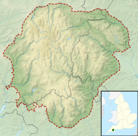
Berra Tor (grid reference SX553679) is a granite tor on the south western edge of Dartmoor. It is only 132 metres above sea level so is one of the lowest tors on Dartmoor. It is quite isolated and hidden from everywhere else and is generally quite unknown. It juts out of some trees and resembles more of a rock than an outcrop on a hill, like Great Mis Tor and Yes Tor that also provide views. Its nearest settlement of size is Buckland Monachorum.
Notes
- "Berra Tor, Near Buckland Monachorum, Devon - Dartmoor Granite on Waymarking.com". www.waymarking.com. Retrieved 29 March 2024.
This Devon location article is a stub. You can help Misplaced Pages by expanding it. |
This article about a specific United Kingdom geological feature is a stub. You can help Misplaced Pages by expanding it. |