| This article relies largely or entirely on a single source. Relevant discussion may be found on the talk page. Please help improve this article by introducing citations to additional sources. Find sources: "Caye Sable" – news · newspapers · books · scholar · JSTOR (July 2024) |
| Native name: Kay Sab | |
|---|---|
 | |
 | |
 | |
| Geography | |
| Coordinates | 18°41′42″N 72°45′47″W / 18.69500°N 72.76306°W / 18.69500; -72.76306 |
| Area | 0.16 ha (0.40 acres) |
| Administration | |
| Department | Ouest |
| Arrondissement | La Gonâve |
| Commune | Anse-à-Galets |
| Demographics | |
| Population | 250 |
| Pop. density | 156,250/km (404690/sq mi) |
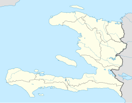
Caye Sable (Haitian Creole: Kay Sab) is a cay of Haiti located in the Anse-à-Galets commune, about 50 kilometres (31 mi) west of Port-au-Prince. It is known for being the most densely populated island in the world, with around 250–300 people sharing an area of 0.16 hectares (0.40 acres) among about 75 houses, making for a population density of 156,250 people/km (404,700 people/sq mi). It is accessible by small boats from the village of Petite Anse, in the extreme south of Gonâve Island. There is no source of fresh water on the island.
See also
References
- Migliore, Carlo (26 March 2018). "Caye Sable, Haiti. Un puntino sovraffollato nel Mar dei Caraibi. VIDEO". 3bmeteo.com. Retrieved 6 December 2021.