| This article does not cite any sources. Please help improve this article by adding citations to reliable sources. Unsourced material may be challenged and removed. Find sources: "Futa River" – news · newspapers · books · scholar · JSTOR (March 2020) (Learn how and when to remove this message) |
| Futa River | |
|---|---|
 | |
| Native name | Río Futa (Spanish) |
| Location | |
| Country | Chile |
| Physical characteristics | |
| Source | |
| • location | Valdivian Coast Range |
| Mouth | |
| • location | Tornagaleones River and Valdivia River |
| • elevation | ~0 m (0 ft) |
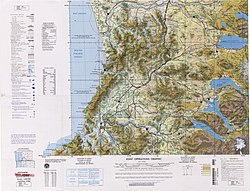
Futa River is a river in Los Ríos Region, Chile. It drains waters from the cordillera at the Valdivian Coast Range border north to Tornagaleones River, which in turn flows into the Pacific Ocean at Corral Bay.
See also
| Hydrography of Los Ríos Region | |||||||
|---|---|---|---|---|---|---|---|
| Rivers |
| ||||||
| Waterfalls | |||||||
| Lakes | |||||||
| Glaciers | |||||||
39°56′14″S 73°13′18″W / 39.93722°S 73.22167°W / -39.93722; -73.22167
This Los Ríos Region location article is a stub. You can help Misplaced Pages by expanding it. |
This article related to a river in Chile is a stub. You can help Misplaced Pages by expanding it. |