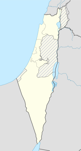
| Horbat Ashun | |
|---|---|
 | |
 | |
| Location | Shephelah, Israel |
| Nearest city | Modi'in |
| Coordinates | 31°54′15.0″N 34°59′03.1″E / 31.904167°N 34.984194°E / 31.904167; 34.984194 |
Hurbat Ashun (Kh. el-Wasūn) is an archaeological site that was on the outskirts of the city of Modi'in, which the main ruins are of a Jewish settlement from the Second Temple period. Today the site is in the heart of "Moreshet" neighborhood.
Background
As the city of Modi'in expands to the hills surrounding it, archaeological excavations are taking place in order to explore the history of what was once an area highly populated by Jews during the Second Temple period. This is in addition to excavations and surveys conducted in the attempt to locate the ruins of ancient Modi'in and the tomb of the Hasmonean family.
Archaeology
The salvage excavation conducted at Horbat Ashun took place during 2015-2016. The site is located in the west part of modi'in 233m above sea level and north of Aneva stream. In the close area of the site, Neolithic tools and curving were found. Settlement remains date back to the several time periods were uncovered. The time periods include the Persian Period, Hellenistic Period, Roman Period, Byzantine Period, Mamluk Period and Ottoman Period. There are very few remains from the Persian period, but as from the Hellenistic period there is an increase of findings as a fram house is established at the site. During the Hasmonean period it is fortified and in preparation for the Great revolt a hiding complex is cut beneath it. During the Umayyad Caliphate and the Ottoman period the area became an agricultural area.
Findings
Apart ot the Neolithic evidence found at the site, the constracted evidence are of a farm house, several Jewish ritual baths, pools, industrial area, agriculture facilities like an oil press, winepress, rock-cut tombs underground storage facilities which later were used as part of the hiding complex. A coin hord was found dating to the Hasmonean dynasty and it included Tyre imprinted coins of Antiochus VII Sidetes and Demetrius II Nicator. Following the Great revolt aftermath the Romans rebuild the site as an agricultural farm.
References
- ^ "גיליון 129 לשנת 2017מודיעין, חורבת אשון". www.hadashot-esi.org.il (in Hebrew). Retrieved 2024-09-08.
- ^ Tendler, Avraham S.; Terem, Shulamit (2019-01-01). "Typical and Atypical Burial in the Late Hellenistic–Early Roman Periods at Horvat Ashun – Modi'in Hills". In the Highland's Depth.
- "חנוכת חורבת אשון בשכונת מורשת". mcity.co.il (in Hebrew). Retrieved 2024-09-08.
- admin (2022-02-06). "חורבת אשון". מוזיאון מורשת החשמונאים (in Hebrew). Retrieved 2024-09-08.
- ^ "גיליון 129 לשנת 2017מודיעין, חורבת אשון". www.hadashot-esi.org.il (in Hebrew). Retrieved 2024-09-08.
- ^ Zissu, Boaz; Perry, Lior (December 2015). "HASMONAEAN MODIʽIN AND BYZANTINE MODITHA: A TOPOGRAPHICAL–HISTORICAL AND ARCHAEOLOGICAL ASSESSMENT". Palestine Exploration Quarterly. 147 (4): 316–337. doi:10.1179/0031032815Z.000000000137. ISSN 0031-0328.