| Limmernsee Limmerensee | |
|---|---|
 | |
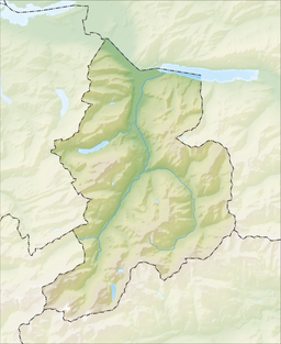
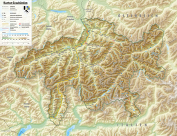
 LimmerenseeShow map of Canton of Glarus  LimmerenseeShow map of Canton of Graubünden  LimmerenseeShow map of Switzerland  LimmerenseeShow map of Alps | |
| Location | Glarus |
| Coordinates | 46°50′8″N 9°0′51″E / 46.83556°N 9.01417°E / 46.83556; 9.01417 |
| Type | reservoir |
| Primary inflows | Muttenbach, canal from Muttsee, Limmern Glacier |
| Primary outflows | Limmernbach |
| Catchment area | 17.8 km (6.9 sq mi) |
| Basin countries | Switzerland |
| Max. length | 3 km (1.9 mi) |
| Surface area | 1.36 km (0.53 sq mi) |
| Max. depth | 122 m (400 ft) |
| Water volume | 93 million cubic metres (75,000 acre⋅ft) |
| Surface elevation | 1,857 m (6,093 ft) |
Limmernsee (or Limmerensee) is a reservoir in the Canton of Glarus, Switzerland, between the peaks of Muttenchopf (2,482 m), Selbsanft (2,950 m) and Kistenstöckli (2,746 m). It may be reached by aerial tramway or by foot from Linthal.
The Limmern dam was completed in 1963 and is the largest reservoir used by the Linth–Limmern Power Stations. The lake's surface area is 1.36 km (0.53 sq mi).
See also
External links
- [REDACTED] Media related to Limmerensee at Wikimedia Commons
- Zukunft Wasserkraft – Linthal 2015 Kraftwerke Linth-Limmern Archived 2007-09-29 at the Wayback Machine (in German) Project for the expansion of the Muttsee/Limmernsee reservoirs.
This article related to a lake in the canton of Glarus is a stub. You can help Misplaced Pages by expanding it. |