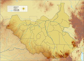
| Numatina Game Reserve | |
|---|---|
| IUCN category VI (protected area with sustainable use of natural resources) | |
  | |
| Location | South Sudan |
| Nearest city | Wau |
| Coordinates | 7°30′N 27°30′E / 7.500°N 27.500°E / 7.500; 27.500 |
| Area | 2,100 square kilometres (210,000 ha) |
| Established | 1939 |
| Governing body | South Sudan National Wildlife Service (SSWS) |
The Numatina Game Reserve is a protected area in South Sudan. The 2,100 square kilometres (810 sq mi) savannah woodland habitat is home to species including elephant, giant eland, and roan antelope.
There are three named mountains in Numatina Game Reserve. The highest and the most prominent mountain is Jabal Nbiripiri.
References
- "Numatina". Protected Planet. Retrieved 2023-04-11.
- United Nations Environment Programme (2007). Sudan: post-conflict environmental assessment. UNEP/Earthprint. pp. 261, 263–. ISBN 978-92-807-2702-9. Retrieved 2 August 2011.
- "Numatina Game Reserve". PeakVisor. Retrieved 2021-01-07.
| Protected areas of South Sudan | |
|---|---|
| National parks | |
| Game reserves | |
| Conservation areas |
|
This South Sudan location article is a stub. You can help Misplaced Pages by expanding it. |
This Africa protected areas related article is a stub. You can help Misplaced Pages by expanding it. |