| Prechistaya Gora Пречистая Гора | |
|---|---|
| Selo | |
  | |
| Coordinates: 56°19′N 39°52′E / 56.317°N 39.867°E / 56.317; 39.867 | |
| Country | Russia |
| Region | Vladimir Oblast |
| District | Yuryev-Polsky District |
| Time zone | UTC+3:00 |
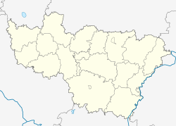
Prechistaya Gora (Russian: Пречистая Гора) is a rural locality (a selo) in Nebylovskoye Rural Settlement, Yuryev-Polsky District, Vladimir Oblast, Russia. The population was 30 as of 2010.
Geography
Prechistaya Gora is located on the Toma River, 35 km southeast of Yuryev-Polsky (the district's administrative centre) by road. Krasoye Zarechye is the nearest rural locality.
References
- Село Пречистая Гора на карте
- Всероссийская перепись населения 2010 года. Численность населения по населённым пунктам Владимирской области Archived 2014-07-21 at WebCite. Retrieved 2014-07-21.
- Расстояние от Юрьева-Польского до Пречистой Горы
This Yuryev-Polsky District location article is a stub. You can help Misplaced Pages by expanding it. |