| Rasirik | |
|---|---|
| Village | |
 | |
| Coordinates: 3°43′S 152°22′E / 3.717°S 152.367°E / -3.717; 152.367 | |
| Country | |
| Province | New Ireland Province |
| District | Namatanai District |
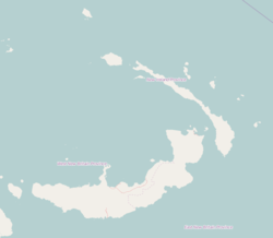
Rasirik is a village on the west coast of New Ireland, Papua New Guinea. It is located to the south of Labur. The government has exploited timber reserves in the area. It is located in Namatanai Rural LLG.
References
- Papua New Guinea. Commission of Inquiry into Aspects of the Forestry Industry (1989). Timber Exploitation in New Ireland Province: Appendices 1-5A. The Commission. Retrieved 31 December 2012.
- United Nations in Papua New Guinea (2018). "Papua New Guinea Village Coordinates Lookup". Humanitarian Data Exchange. 1.31.9.
- "Census Figures by Wards - Islands Region". www.nso.gov.pg. 2011 National Population and Housing Census: Ward Population Profile. Port Moresby: National Statistical Office, Papua New Guinea. 2014.
- "Final Figures". www.nso.gov.pg. 2011 National Population and Housing Census: Ward Population Profile. Port Moresby: National Statistical Office, Papua New Guinea. 2014.
This New Ireland Province geography article is a stub. You can help Misplaced Pages by expanding it. |