| Ravašnica | |
|---|---|
 | |
| Highest point | |
| Elevation | 1,565 metres (5,135 ft) |
| Coordinates | 43°51′09″N 17°21′59″E / 43.85250°N 17.36639°E / 43.85250; 17.36639 |
| Geography | |
| Location | Bosnia and Herzegovina |
| Parent range | Dinaric Alps |
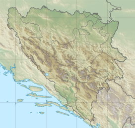
Ravašnica (Cyrillic: Равашница) is a mountain in the municipality of Kupres, Canton 10 of the Federation of Bosnia and Herzegovina, Bosnia and Herzegovina. It has an altitude of 1,565 metres (5,135 ft).
See also
References
- Ravašnica, Federation of Bosnia and Herzegovina, Bosnia and Herzegovina Mindat.org
- "Statistical Yearbook of the Federation of Bosnia and Herzegovina" (PDF). Federation of Bosnia and Herzegovina, Federal Office of Statistics. 2009. p. 28. Archived from the original (PDF) on 2010-03-07.
This Canton 10 geography article is a stub. You can help Misplaced Pages by expanding it. |