| Santa María Ajoloapan | |
|---|---|
| Town | |
 Main square in Santa María Ajoloapan Main square in Santa María Ajoloapan | |
 | |
| Coordinates: 19°58′9″N 99°2′7″W / 19.96917°N 99.03528°W / 19.96917; -99.03528 | |
| Country | |
| State | State of Mexico |
| Municipality | Hueypoxtla |
| Area | |
| • Total | 10.83 km (4.18 sq mi) |
| Elevation | 2,100 m (6,900 ft) |
| Population | |
| • Town | 9,185 |
| Time zone | UTC-6 (CST) |
| Website | http://www.hueypoxtla.gob.mx/ |
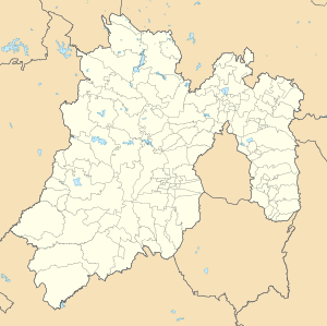
Santa María Ajoloapan is a town inside municipality of Hueypoxtla in Mexico State in Mexico. The town is bordered on the north Tianguistongo Town, south to Casa Blanca hacienda, east village San José Bata and west by the town of Coyotillos in Apaxco.
References
- Catálogo de Localidades. Hueypoxtla, SEDESOL, July 17, 2016.
- Mi Pueblo
This article about a location in the state of Mexico is a stub. You can help Misplaced Pages by expanding it. |