| Taquara | |
|---|---|
| Neighborhood | |
  | |
| Coordinates: 22°55′20″S 43°23′17″W / 22.92222°S 43.38806°W / -22.92222; -43.38806 | |
| Country | |
| State | Rio de Janeiro (RJ) |
| Municipality/City | Rio de Janeiro |
| Zone | West Zone |
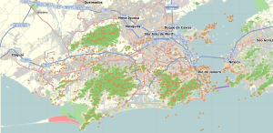
Taquara is a neighborhood in the West Zone of Rio de Janeiro, Brazil.
The bairro contains the Pau da Fome center of the 12,500 hectares (31,000 acres) Pedra Branca State Park, created in 1974.
References
- "Parque Estadual da Pedra Branca – RJ", Trilhas e Rumos (in Portuguese), retrieved 2017-01-12
This Rio de Janeiro state, Brazil location article is a stub. You can help Misplaced Pages by expanding it. |