| Tyungur Тюнгур | |
|---|---|
| Village | |
 Village of Tungur with Katun Mountains in the background (English) Village of Tungur with Katun Mountains in the background (English) | |
  | |
| Coordinates: 50°09′N 86°18′E / 50.150°N 86.300°E / 50.150; 86.300 | |
| Country | Russia |
| Region | Altai Republic |
| District | Ust-Koksinsky District |
| Time zone | UTC+7:00 |
Tyungur (Russian: Тюнгур; Altay: Тӱҥӱр, Tüñür) is a rural locality (a selo) in Katandinskoye Rural Settlement of Ust-Koksinsky District, the Altai Republic, Russia. The population was 348 as of 2016. There are 12 streets.
Geography
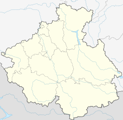
Tyungur is located on the left bank of the Katun River, 60 km southeast of Ust-Koksa (the district's administrative centre) by road. Kucherla is the nearest rural locality.
References
- Карта села Тюнгур в республике Алтай
- "Оценка численности постоянного населения Республики Алтай по населённым пунктам за 2012-2016 годы". statra.gks.ru. Retrieved 2018-09-24.
- Расстояние от Тюнгура до Усти-Коксы
This Altai Republic location article is a stub. You can help Misplaced Pages by expanding it. |