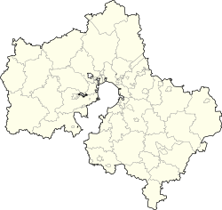
| 18 posyolok 18 посёлок | |
|---|---|
| Settlement | |
 | |
  | |
| Coordinates: 55°32′31″N 39°30′15″E / 55.541944°N 39.504167°E / 55.541944; 39.504167 | |
| Country | Russia |
| Region | Moscow Oblast |
| District | Shatursky District |
| Time zone | UTC+03:00 |
18 posyolok (Russian: 18 посёлок) is a rural locality (a settlement) in Shatura Urban Settlement of Shatursky District, Russia. The population was 52 as of 2010.
Geography
18 posyolok is located 269 km northwest of Shatura (the district's administrative centre) by road.
Streets
There are no streets with titles.
References
- "Численность сельского населения и его размещение на территории Московской области (итоги Всероссийской переписи населения 2010 года). Том III". Archived from the original on 2014-09-24. Retrieved 2018-08-14.
- Расстояние от 18 Посёлока до Шатуры
- Центр Регистрации и Сопровождения Бизнеса - www.regfile.ru. "18 поселок поселок п - Шатурский р-н, состав: улицы, почтовые индексы, ОКТМО, ОКАТО | ФИАС". ifias.ru. Retrieved 2018-08-08.
This Moscow Oblast location article is a stub. You can help Misplaced Pages by expanding it. |