| This article needs additional citations for verification. Please help improve this article by adding citations to reliable sources. Unsourced material may be challenged and removed. Find sources: "Abraham Heights" – news · newspapers · books · scholar · JSTOR (February 2024) (Learn how and when to remove this message) |
Human settlement in England
| Abraham Heights | |
|---|---|
 Abraham Heights Farm Abraham Heights Farm | |
   | |
| OS grid reference | SD4661 |
| District | |
| Shire county | |
| Region | |
| Country | England |
| Sovereign state | United Kingdom |
| Post town | LANCASTER |
| Postcode district | LA1 |
| Dialling code | 01524 |
| Police | Lancashire |
| Fire | Lancashire |
| Ambulance | North West |
| UK Parliament | |
| |
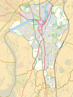
Abraham Heights is a suburb of Lancaster, Lancashire, England.
Geography
It is west of the city centre, with the River Lune to the north and west, and the village of Aldcliffe to the south. It is part of the LA5 1 postcode area.
References
- "Abraham Heights, Lancaster". OS GetOutside. Ordnance Survey. Retrieved 19 February 2024.
- "Welcome to LA1 5 Scale hall Abraham heights Marsh The Willows Fairfield Haverbreaks". JD Gallagher Estate Agents. 10 August 2020. Retrieved 19 February 2024.