| Baengnyeonsan | |
|---|---|
  | |
| Highest point | |
| Elevation | 216 m (709 ft) |
| Coordinates | 37°35′30″N 126°55′39″E / 37.59167°N 126.92750°E / 37.59167; 126.92750 |
| Geography | |
| Location | South Korea |
| Korean name | |
| Hangul | 백련산 |
| Hanja | 白蓮山 |
| Revised Romanization | Baengnyeonsan |
| McCune–Reischauer | Paengnyŏnsan |
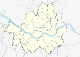
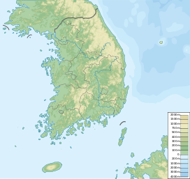
Baengnyeonsan is a mountain in Seoul, South Korea, lying on the border between Eunpyeong-gu and Seodaemun-gu. It has an elevation of 216 m (709 ft). The name "Baengnyeonsan" means "White Lotus Mountain".
References
- 김성중 (1999). "한국의 산하 - 백련산". 한국의 산하. Retrieved 26 April 2012.