| Biscayarfonna | |
|---|---|
 View of Biscayarfonna from the sea View of Biscayarfonna from the sea | |
 | |
| Type | Plateau glacier |
| Location | Haakon VII Land Spitsbergen, Svalbard |
| Coordinates | 79°47′N 12°17′E / 79.783°N 12.283°E / 79.783; 12.283 |
| Terminus | Raudfjorden, Breibogen Arctic Ocean |
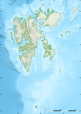
Biscayarfonna (Biscay glacier in Nynorsk) is an ice cap in Spitsbergen, Svalbard. It has an elevation of 467 m (1,532 ft), and is located on the Haakon VII Land peninsula between Raudfjorden in the west and Breibogen bay in the east. This ice cap is named after Biscay in honour of the Basque whalers who hunted at Spitsbergen in the 17th and 18th centuries.
See also
References
- Nynorskordboka - fonn
- "Biscayarfonna (Svalbard)". Norwegian Polar Institute. Retrieved 11 October 2019.
- Arctic Pilot: Sailing directions Svalbard–Jan Mayen. Vol. 7. Stavanger: The Norwegian Hydrographic Service and The Norwegian Polar Institute. 1988. ISBN 82-90653-06-9.
External links
This article about a glacier in Spitsbergen is a stub. You can help Misplaced Pages by expanding it. |