| Buaren | |
|---|---|
   | |
| Highest point | |
| Elevation | 561 m (1,841 ft) |
| Prominence | 52 m (171 ft) |
| Isolation | 1.2 km (0.75 mi) |
| Coordinates | 59°32′25″N 9°58′32″E / 59.54019°N 9.97559°E / 59.54019; 9.97559 |
| Geography | |
| Location | Vestfold and Buskerud, Norway |
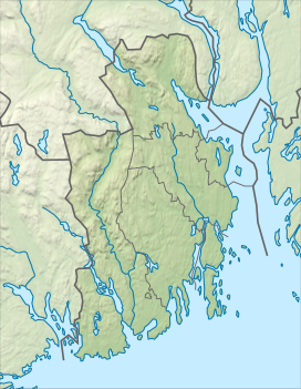
Buaren is a mountain on the border of Holmestrand Municipality in Vestfold county and Kongsberg Municipality in Buskerud county, Norway. The 561-metre (1,841 ft) tall mountain is located about 6 kilometres (3.7 mi) west of the village of Hof, about 6 kilometres (3.7 mi) north of the village of Hvittingfoss, and about 20 kilometres (12 mi) southeast of the town of Kongsberg. The mountain is surrounded by several other notable mountains including Grøntjernkollen to the northwest and Skibergfjellet and Vestfjellet to the north.
See also
References
- "Buaren, Holmestrand" (in Norwegian). yr.no. Retrieved 18 March 2024.
- ^ "Buaren". PeakVisor.com. Retrieved 18 March 2024.
This article about a mountain, mountain range, or peak in Buskerud is a stub. You can help Misplaced Pages by expanding it. |
This article about a mountain, mountain range, or peak in Vestfold is a stub. You can help Misplaced Pages by expanding it. |