| Burias Pass | |
|---|---|
 Burias Pass as seen from Libon, Albay Burias Pass as seen from Libon, Albay | |
  | |
| Location | |
| Coordinates | 12°57′N 123°18′E / 12.950°N 123.300°E / 12.950; 123.300 |
| Type | strait |
| Etymology | Burias Island |
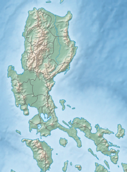
Burias Pass is the strait that separates Burias Island from the Bicol Peninsula in the Philippines. It connects Ragay Gulf on the north with the Ticao Pass and the Samar Sea on the south. It is considered a very important biodiversity area of the country.
Along with the Ticao Pass, the waters of the Burias Pass are proposed to become a Marine Protected Area. The pass has plankton-rich waters and constant current, and is home to a large marine diversity. Species found there include whale sharks, thresher sharks, hammerhead sharks, tiger sharks, manta rays, dugong, various species of sea turtles, coral reefs, and the globally rare megamouth shark, but the pass also suffers from massive overfishing and poaching, as well as destructive blast fishing.
References
- "Geographical Names: Burias Pass: Philippines". Geographic.org. Retrieved 16 August 2016.
- ^ Timothy Walker (19 February 2015). "Marine Biologists Study Importance of Burias Pass Between Albay and Masbate". philippineslifestyle.com. Philippines Lifestyle News. Archived from the original on 14 September 2016. Retrieved 16 August 2016.
- Danny O. Calleja (October 5, 2015). "Proposed declaration of Ticao-Burias Pass as protected seascape excites stakeholders". pnabicol.blogspot.ca. Legazpi City: Philippines News Agency. Retrieved 16 August 2016.
- Rhaydz B. Barcia (June 21, 2015). "DENR official seeks declaration of Burias-Ticao Pass as marine protected area". bicolstandard.com. Bicol Standard. Retrieved 16 August 2016.
This article about a location in Bicol Region is a stub. You can help Misplaced Pages by expanding it. |
