| This article does not cite any sources. Please help improve this article by adding citations to reliable sources. Unsourced material may be challenged and removed. Find sources: "Dün" – news · newspapers · books · scholar · JSTOR (December 2009) (Learn how and when to remove this message) |
| The topic of this article may not meet Misplaced Pages's general notability guideline. Please help to demonstrate the notability of the topic by citing reliable secondary sources that are independent of the topic and provide significant coverage of it beyond a mere trivial mention. If notability cannot be shown, the article is likely to be merged, redirected, or deleted. Find sources: "Dün" – news · newspapers · books · scholar · JSTOR (November 2024) (Learn how and when to remove this message) |

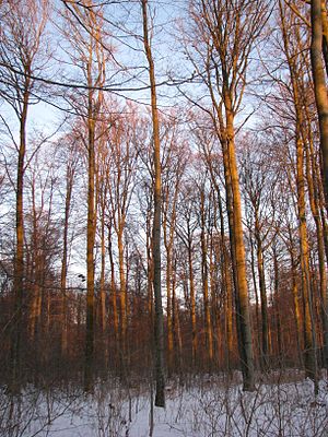
The Dün is a hill chain in northwestern Thuringia, Germany. It runs west to east, and forms the northwestern edge of the Thuringian Basin. It separates the Thuringian Basin from the upper valley of the river Leine. Towards the east it continues in the Hainleite ridge. The highest point, 522 m above sea level, is near the village Vollenborn.
51°21′20″N 10°30′40″E / 51.3556°N 10.5111°E / 51.3556; 10.5111
This Eichsfeld district location article is a stub. You can help Misplaced Pages by expanding it. |