| Daur Taluka
تعلقہ دوڑ دؤڙ تعلقو | |
|---|---|
| Taluka (Tehsil) | |
  | |
| Coordinates (26°27′30″N 68°19′09″E / 26.458333°N 68.319167°E / 26.458333; 68.319167): 26°27′30″N 68°19′09″E / 26.45833°N 68.31917°E / 26.45833; 68.31917 | |
| Country | |
| Province | |
| Division | Shaheed Benazir Abad |
| District | Nawabshah District |
| Taluka Status | 2004 |
| Government | |
| • Type | Town Committee Daur |
| • Chairman | Chaudhary waseem Afzal |
| Population | |
| • City | 128,958 |
| Time zone | UTC+5 (PKT) |
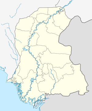
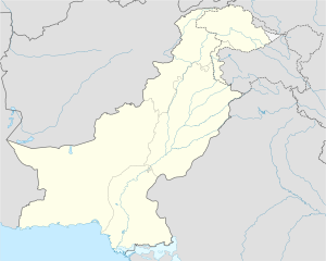
Daur is a town and headquarters of Daur taluka located in the district Shaheed Benazir Abad (Nawabshah), Sindh, Pakistan. Daur is a hub for agriculture and animal farms. It was badly damaged by the floods in 2010.
References
- "Pakistan: Administrative Division (Provinces and Districts) - Population Statistics, Charts and Map".
- "Sindh (Pakistan): Province, Major Cities, Municipalites [sic] & Towns - Population Statistics, Maps, Charts, Weather and Web Information".
- "NAWABSHAH: Nawabshah's division to be challenged in court". DAWN.COM. 2005-07-04. Retrieved 2024-01-12.
- Guerin, Orla (October 28, 2010). "Despair of Pakistan's forgotten flood victims". BBC News. Retrieved April 27, 2012.
This Sindh location article is a stub. You can help Misplaced Pages by expanding it. |