| This article relies largely or entirely on a single source. Relevant discussion may be found on the talk page. Please help improve this article by introducing citations to additional sources. Find sources: "Gumti River" transboundary river – news · newspapers · books · scholar · JSTOR (December 2006) |
| Gomoti River | |
|---|---|
 Gomoti river in Kaptan Bazar, Cumilla Gomoti river in Kaptan Bazar, Cumilla | |
 | |
| Native name | গোমতী নদী (Bengali) |
| Location | |
| India | Tripura |
| Bangladesh | Cumilla |
| Physical characteristics | |
| Source | Dumur, Tripura |
| Mouth | Meghna River |
| • coordinates | 23°31′46″N 90°42′08″E / 23.52944°N 90.70222°E / 23.52944; 90.70222 |
| Length | 95 km (59 mi) |
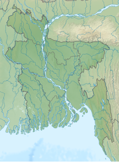
The Gomoti or Gumti (Bengali: গোমতী, gomtī/gomôtī) is a river flowing through the north-eastern Indian state of Tripura and the district of Cumilla in Bangladesh. A dam has been constructed near Dumbur on the river that has formed a 40 square kilometres (15 sq mi) lake.
Gallery
-
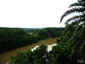
 Gumti River flowing through Udaipur, Tripura
-
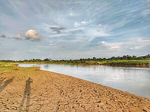
 Irrigation is underway by pump-enabled extraction directly from the Gumti, seen in the background, in Comilla, Bangladesh.
-

-

-

-

References
- Choudhury, A.U. (2009). Gumti –Tripura’s remote IBA. Mistnet 10 (3): 7-8.
External links
 Media related to Gumti River at Wikimedia Commons
This article related to a river in India is a stub. You can help Misplaced Pages by expanding it. |
This article related to a river in Bangladesh is a stub. You can help Misplaced Pages by expanding it. |