| Haghartsin Հաղարծին | |
|---|---|
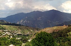 A view of Haghartsin A view of Haghartsin | |
  | |
| Coordinates: 40°46′41″N 44°57′45″E / 40.77806°N 44.96250°E / 40.77806; 44.96250 | |
| Country | Armenia |
| Province | Tavush |
| Municipality | Dilijan |
| Government | |
| • Mayor | Sargis Poghosyan |
| Population | |
| • Total | 3,791 |
| Time zone | UTC+4 (AMT) |
| Haghartsin, Armenia at GEOnet Names Server | |
Haghartsin (Armenian: Հաղարծին) is a village in the Dilijan Municipality of the Tavush Province of Armenia. The 13th-century Haghartsin Monastery is located around 8 km northwest of the village.
Toponymy
It was founded in 1815 as Jarkhech by Prince Jar Artsruni. In 1940, the village was renamed Kuybyshev after the Soviet politician Valerian Kuybyshev. In 1992, the village was renamed Haghartsin, after the nearby Haghartsin Monastery.
Gallery
-
 Nearby 13th-century Haghartsin Monastery
-
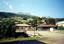 Haghartsin
-
Haghartsin Monastery
-
 Nature around Haghartsin
-
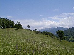 Nature around Haghartsin
-
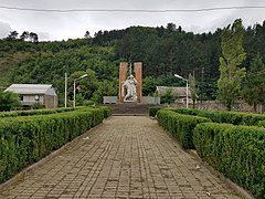 WWII monument
-
 Khachkars
References
- Statistical Committee of Armenia. "The results of the 2011 Population Census of Armenia" (PDF).
- Kiesling, Rediscovering Armenia, p. 109, available online at the US embassy to Armenia's website Archived 2008-06-26 at the Wayback Machine
External links
| Capital: Ijevan | ||
| Urban settlements | 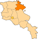 | |
| Berd Municipality | ||
| Dilijan Municipality | ||
| Ijevan Municipality | ||
| Noyemberyan Municipality | ||
This article about a location in Tavush Province, Armenia is a stub. You can help Misplaced Pages by expanding it. |