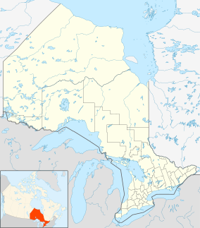
| Halfway Lake Provincial Park | |
|---|---|
| IUCN category II (national park) | |
 Raven Lake left and Halfway Lake right, campgrounds centre fore and rear Raven Lake left and Halfway Lake right, campgrounds centre fore and rear | |
 | |
| Location | Sudbury, Northeastern Ontario, Ontario, Canada |
| Nearest town | Cartier, Ontario |
| Coordinates | 46°54′39″N 81°39′11″W / 46.91083°N 81.65306°W / 46.91083; -81.65306 |
| Area | 47.30 km (18.26 sq mi) |
| Elevation | 441 m (1,447 ft) |
| Established | 1985 |
| Visitors | 81,379 (in 2022) |
| Operator | Ontario Parks |
| Website | Official website |
Halfway Lake Provincial Park is a provincial park astride Ontario Highway 144 in Sudbury District in northeastern Ontario, Canada. It is operated by Ontario Parks and is named for Halfway Lake, which is entirely within the park grounds. The nearest settlement on Highway 144 is Cartier, about 25 kilometres (16 mi) to the south. The park contains more than a dozen lakes, including Antrim Lake, Bailey Lake, Benny Lake, Bittern Lake, Burnt Ridge Lake, Halfway Lake, Lodge Lake, Moosemuck Lake, Otter Lake, Raven Lake, Three Island Lake, Trapper Lake, and Two Narrows Lake. There are a mix of 221 electrical and non-electrical sites in the two campgrounds (namely Hawksnest Campground and Wild Rose Campground), 10 interior canoe-access sites located on Antrim Lake, Bailey Lake, and Trapper Lake, plus an additional five interior hike-access sites located along the Hawk Ridge Trail.
References
- UNEP-WCMC. "Protected Area Profile for Halfway Lake Provincial Park". World Database on Protected Areas. Retrieved 2024-11-08.
- "Halfway Lake Provincial Park - Natural Environment". Protected Planet. Archived from the original on 4 March 2016.
- Parks, Ontario. "Ontario_Parks-Visitation-Statistics 2022 - Ministries". data.ontario.ca. Retrieved 2024-11-08.
Sources
- "Halfway Lake Provincial Park". Geographical Names Data Base. Natural Resources Canada. Retrieved 2011-02-18.
- "Topographic Map sheet 41I13". Atlas of Canada. Natural Resources Canada. 2010-02-04. Retrieved 2011-02-18.
External links
This Northern Ontario geographical article is a stub. You can help Misplaced Pages by expanding it. |
This Canadian protected area related article is a stub. You can help Misplaced Pages by expanding it. |
