| This article needs additional citations for verification. Please help improve this article by adding citations to reliable sources. Unsourced material may be challenged and removed. Find sources: "Hlatikulu" – news · newspapers · books · scholar · JSTOR (December 2009) (Learn how and when to remove this message) |
| Hlatikulu | |
|---|---|
| Town | |
 | |
 | |
| Coordinates: 26°58′26.0″S 31°19′31.6″E / 26.973889°S 31.325444°E / -26.973889; 31.325444 | |
| Country | |
| Region | Shiselweni Region |
| Population | |
| • Total | 2,800 |

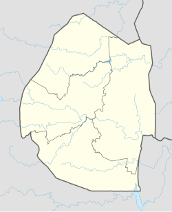
Hlatikulu is a town located in the Shiselweni district of southern Eswatini.
Geography
Hlatikulu is situated above the Grand Valley Estate in the valley of the Mkhondvo River, south of the MR9 trunk road, which leads to Nkwene and Manzini.The main street in Hlatikulu is The Assegai Inn street. Standing at over 1,210 metres (3,970 ft) above sea level it has the highest altitude in Ewsatini and hence is also the coldest town in Eswatini.
Culture
The town is home to the Hlathikhulu Government Hospital, and the Free Evangelical Assembles Hlathikhulu and Christ the King Parish churches. In the north of the settlement is the Mkhondvo High School.
References
This Eswatini location article is a stub. You can help Misplaced Pages by expanding it. |