| Imotsko Polje | |
|---|---|
  | |
| Floor elevation | 248–283 m (814–928 ft) |
| Area | 95 km (37 sq mi) |
| Geography | |
| Country | Croatia, Bosnia and Herzegovina |
| State/Province | Split-Dalmatia County, West Herzegovina |
| Population center | Imotski |
| Coordinates | 43°26′N 17°12′E / 43.43°N 17.2°E / 43.43; 17.2 |
| Mountain range | Dinaric Alps |
| Rivers | |
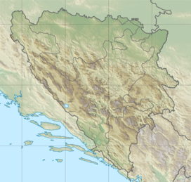
Imotsko Polje (lit. 'Field of Imotski') is a polje (karstic field) located on the border of Croatia and Bosnia and Herzegovina near the city of Imotski. The larger part is in Herzegovina, while the Croatian part is in the inner Dalmatia region, and is the second largest in the country, covering an area of 95 square kilometres (37 sq mi).
References
- Ostroški, Ljiljana, ed. (December 2015). Statistički ljetopis Republike Hrvatske 2015 [Statistical Yearbook of the Republic of Croatia 2015] (PDF). Statistical Yearbook of the Republic of Croatia (in Croatian and English). Vol. 47. Zagreb: Croatian Bureau of Statistics. p. 51. ISSN 1333-3305. Retrieved 27 December 2015.
This Split-Dalmatia County geography article is a stub. You can help Misplaced Pages by expanding it. |
This West Herzegovina Canton geography article is a stub. You can help Misplaced Pages by expanding it. |
| Dinaric Alps' karst fields | ||
|---|---|---|
| Dinaric Alps • Polje | ||
| Bosnia and Herzegovina |  | |
| Croatia | ||
| Kosovo | ||
| Montenegro | ||
| Serbia | ||
| Slovenia | ||