| This article relies largely or entirely on a single source. Relevant discussion may be found on the talk page. Please help improve this article by introducing citations to additional sources. Find sources: "Jandola" – news · newspapers · books · scholar · JSTOR (December 2024) |
| Jandola
جنڈولہ جنډوله | |
|---|---|
| Town | |
  | |
| Coordinates: 32°19′54″N 70°7′22″E / 32.33167°N 70.12278°E / 32.33167; 70.12278 | |
| Country | |
| Region | |
| District | Tank District |
| Tehsil | Jandola Tehsil |
| Elevation | 2,507 ft (764 m) |
| Population | |
| • Total | 9,126 |
| Time zone | UTC+5 (PST) |
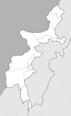
Jandola (Pashto: جنډوله) is the main town of Jandola Tehsil (formerly known as "Frontier Region Tank") in Tank District, southern Khyber Pakhtunkhwa, Pakistan. It is located at the boundary of South Waziristan. It has a population of 9,126 according to the 2017 Census of Pakistan. It also acts as the junction point that connects Tank-Makeen road with Tank-Wana road. Jandola is the origin of the Bettani tribe.
References
- ^ "POPULATION AND HOUSEHOLD DETAIL FROM BLOCK TO DISTRICT LEVEL: FATA (FR TANK)" (PDF). Pakistan Bureau of Statistics. Retrieved 11 April 2018.
This Dera Ismail Khan District location article is a stub. You can help Misplaced Pages by expanding it. |