| Karakol Каракол | |
|---|---|
| Selo | |
  | |
| Coordinates: 50°48′N 85°56′E / 50.800°N 85.933°E / 50.800; 85.933 | |
| Country | Russia |
| Region | Altai Republic |
| District | Ongudaysky District |
| Time zone | UTC+7:00 |
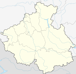
Karakol (Russian: Каракол; Altay: Кара-Коол, Kara-Kool) is a rural locality (a selo) and the administrative centre of Karakolskoye Rural Settlement, Ongudaysky District, the Altai Republic, Russia. The population was 411 as of 2016. There are 6 streets.
Geography
Karakol is located 17 km northwest of Onguday (the district's administrative centre) by road. Kurota is the nearest rural locality.
References
- Карта Онгудайского района Алтая
- "Оценка численности постоянного населения Республики Алтай по населённым пунктам за 2012-2016 годы". Archived from the original on 2019-03-04. Retrieved 2019-09-20.
- Расстояние от Каракола до Онгудая
| Rural localities in Ongudaysky District | ||
|---|---|---|
This Altai Republic location article is a stub. You can help Misplaced Pages by expanding it. |