| This article relies largely or entirely on a single source. Relevant discussion may be found on the talk page. Please help improve this article by introducing citations to additional sources. Find sources: "Kasselaid" – news · newspapers · books · scholar · JSTOR (November 2022) |
 | |
| Geography | |
|---|---|
| Location | Gulf of Riga |
| Coordinates | 58°8′33″N 22°32′33″E / 58.14250°N 22.54250°E / 58.14250; 22.54250 |
| Area | 49.92 ha (123.4 acres) |
| Coastline | 7.4 km (4.6 mi) |
| Administration | |
| Estonia | |
| County | Saare County |
| Municipality | Saaremaa Parish |
| Settlement | Abruka village |
| Demographics | |
| Population | 0 |
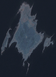
Kasselaid is a 49.92 ha (123.4 acres) uninhabited Estonian islet in the Gulf of Riga, about 300 m (980 ft) east of the island of Abruka. Administratively, it belongs to the Abruka village in Saaremaa Parish, Saare County. The island is part of the Abruka Nature Reserve.

See also
References
- "Kasselaid" (in Estonian). EELIS – Estonian Nature Infosystem. Retrieved 24 May 2011.
This Saare County location article is a stub. You can help Misplaced Pages by expanding it. |