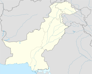
| Khunda Kunda | |
|---|---|
| village | |
| Kunda | |
 | |
| Coordinates: 34°3′0″N 72°6′0″E / 34.05000°N 72.10000°E / 34.05000; 72.10000 | |
| Country | |
| Province | |
| District | Swabi District |
| Tehsil | Lahor Tehsil |
| Government | |
| • Type | Democratic |
| Time zone | UTC+5 (PST) |
| • Summer (DST) | +6 |
Khunda, or Kunda, is a village and Union Council of Swabi District, in Khyber Pakhtunkhwa. It is part of Lahor Tehsil Tehsils & Unions in the District of Swabi - Government of Pakistan Archived 2012-02-09 at the Wayback Machine</ref> and is located at 34°3'0"N 72°26'0"E.
References
34°3′0″N 72°26′0″E / 34.05000°N 72.43333°E / 34.05000; 72.43333 Below is list of Mohala in village khunda.
- Mahala Manga Kheel - Mahala Kander Kheel - Mahala Ibrahim Kheel - Mahala Sra moti Kheel - Mahal Aziz Kheel - Mohalla Panjpao
Below is the list cham in village Khunda.
- Khkata Cham - Pass cham - Panj Paw Cham - Badrai Cham - Garai Cham
Update by Muhammad Ibrahim Khan
This Swabi District location article is a stub. You can help Misplaced Pages by expanding it. |