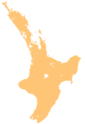
Suburb in Waikato District, New Zealand
| Kimihia | |
|---|---|
| Suburb | |
 | |
| Coordinates: 37°32′49″S 175°10′05″E / 37.547°S 175.168°E / -37.547; 175.168 | |
| Country | New Zealand |
| City | Waikato District |
| Electoral ward | Huntly Ward |
| Ohinewai | Lake Kimihia | |
| State Highway 1 |
|
Waikato Expressway |
| Huntly | Lake Hakanoa |
Kimihia is a north-eastern suburb of Huntly, New Zealand.
Education
Kimihia School is a co-educational state full primary school covering years 1 to 8, with a roll of 368 as of November 2024. There has been a school at Kimihia since at least 1897.
References
- Education Counts: Kimihia School
- "New Zealand Schools Directory". New Zealand Ministry of Education. Retrieved 1 January 2025.
- "Board of Education - Selection of Teachers". Auckland Star. Vol. XXVIII, no. 179. 3 August 1897. p. 5.
This Waikato geography article is a stub. You can help Misplaced Pages by expanding it. |