| Kinkaid, Nevada | |
|---|---|
| Ghost town | |
  | |
| Coordinates: 38°32′42″N 118°23′41″W / 38.54500°N 118.39472°W / 38.54500; -118.39472 | |
| Country | United States |
| State | Nevada |
| County | Mineral |
| Elevation | 4,409 ft (1,344 m) |
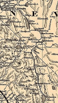
Kinkaid is a populated place located in Mineral County. Kinkaid is also known as Kinkead and Kinkaid Siding. Kinkead was a stop on the Carson and Colorado Railway. Kinkead Mill, located in Kinkead, was in operation in the 1940s.

References
- ^ U.S. Geological Survey Geographic Names Information System: Kinkaid
- U.S. Geological Survey Geographic Names Information System: Kinkead Mill
- "Plant at Kinkead operting on custom ore". Reno Gazette-Journal. June 28, 1941. Retrieved February 9, 2020.
External links
- "Kinkead". Silver State Ghost Towns. Retrieved February 9, 2020. - includes photos.
| Municipalities and communities of Mineral County, Nevada, United States | ||
|---|---|---|
| County seat: Hawthorne | ||
| CDPs |  | |
| Unincorporated community | ||
| Indian reservation | ||
| Ghost towns | ||
This Mineral County, Nevada state location article is a stub. You can help Misplaced Pages by expanding it. |