| Kruty | |
|---|---|
| Village | |
 Flag Flag Coat of arms Coat of arms | |
  | |
| Coordinates: 51°03′37″N 32°06′05″E / 51.06028°N 32.10139°E / 51.06028; 32.10139 | |
| Country | |
| Oblast | Chernihiv Oblast |
| Raion | Nizhyn Raion |
| Founded | 1500 |
| Area | |
| • Total | 339 km (131 sq mi) |
| Elevation | 127 m (417 ft) |
| Population | |
| • Total | 1,330 |
| • Density | 39,233/km (101,610/sq mi) |
| Postal code | 16645 |
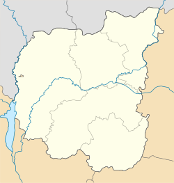
Kruty (Ukrainian: Кру́ти) is a village in Ukraine, located in Nizhyn Raion, Chernihiv Oblast. It is the administrative center of Kruty rural hromada, one of the hromadas of Ukraine.
It was the site of the Battle of Kruty during the Ukrainian–Soviet War.
References
- "Децентралізація в Україні". decentralization.gov.ua. Retrieved 2023-10-12.
| Administrative center: Nizhyn | ||
| Cities | ||
| Rural settlements | ||
| Villages | ||
| Hromadas | ||
This article about a location in Chernihiv Oblast is a stub. You can help Misplaced Pages by expanding it. |
