| Ksi X’anmaas Conservancy | |
|---|---|
| IUCN category II (national park) | |
  | |
| Location | Kitimat–Stikine, British Columbia, Canada |
| Nearest city | Lax̱g̱altsʼap |
| Coordinates | 54°48′43″N 129°41′33″W / 54.81194°N 129.69250°W / 54.81194; -129.69250 |
| Area | 33,581 hectares (335.81 km) |
| Elevation | 654 meters (2,146 ft) |
| Established | June 27, 2008; 16 years ago (2008-06-27) |
| Governing body | BC Parks |
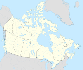
Ksi X’anmaas Conservancy is a protected area on Kitimat–Stikine, British Columbia, Canada. It is located near the northwestern coast of British Columbia, about 25 kilometres southwest of Lax̱g̱altsʼap. The conservancy was created on June 27, 2008.
Geography
The conservancy is situated to the west of Oscar Peak and north of Khutzeymateen Provincial Park, at an average elevation of 654 metres above the sea level.
References
- "Ksi X'anmaas Conservancy". BC Parks. Retrieved 22 October 2023.
- "Ksi X'anmaas Conservancy topographic map, elevation, terrain". Topographic maps. Retrieved 22 October 2023.
This British Columbia protected areas related article is a stub. You can help Misplaced Pages by expanding it. |