| This article needs additional citations for verification. Please help improve this article by adding citations to reliable sources. Unsourced material may be challenged and removed. Find sources: "Lake Bolon" – news · newspapers · books · scholar · JSTOR (February 2010) (Learn how and when to remove this message) |
| Lake Bolon | |
|---|---|
 from space from space | |
  | |
| Location | Khabarovsk Krai, Russia |
| Coordinates | 49°48′00″N 136°22′00″E / 49.8°N 136.3666667°E / 49.8; 136.3666667 |
| Type | Floodplain lake |
| Basin countries | Russia |
| Max. length | 70 km (43 mi) |
| Max. width | 20 km (12 mi) |
| Surface area | 338 km (131 sq mi) |
| Max. depth | 4 m (13 ft) |
| Ramsar Wetland | |
| Official name | Lake Bolon and the mouths of the Selgon and Simmi Rivers |
| Designated | 13 September 1994 |
| Reference no. | 686 |
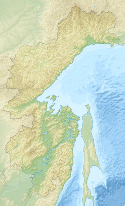
Lake Bolon (Russian: Болонь) is a large freshwater lake in the Khabarovsk Krai, Russia. It has an area of 338 km²; it is 70 km long and 20 km wide, and has a maximum depth of about 4 m. It is located on the broad west-bank flood plain of the Amur River about 80 km south of Komsomolsk and drains into the Amur by a 9 km channel. Lake Bolon is an important stopping place for migratory birds. The south end of the lake is a nature preserve.
References
- "Lake Bolon and the mouths of the Selgon and Simmi Rivers". Ramsar Sites Information Service. Retrieved 25 April 2018.
- "22. Information Sheet on Ramsar Wetlands" Archived 2011-06-22 at the Wayback Machine. Wetlands International. Retrieved 25 January 2010.
This Khabarovsk Krai location article is a stub. You can help Misplaced Pages by expanding it. |