| Lamberts | |
|---|---|
 | |
| Coordinates: 13°18′0″N 59°36′0″W / 13.30000°N 59.60000°W / 13.30000; -59.60000 | |
| Country | |
| Parish | Saint Lucy |
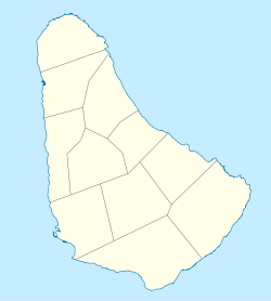
Lamberts is a tiny village in the parish of Saint Lucy, Barbados close to the border with Saint Peter. The location is best known for the experimental wind tower that was supposed to become part of a larger windfarm built in the 1980s.
Windfarm
At the windfarm area the Government and Barbados Light and Power Company has tried to replace the current experimental turbine, and continue installing the full windfarm. However, both parties have met localized opposition based on noise complaints by residents about the current abandoned turbine which has technology over 20 years old.
In June 2009, it was reported in local media that the turbine was in a broken state with large sections of it lying on the ground.
References
- Barbados Light and Power Company Environmental studies
- Caribbean Information Platform on Renewable Energy (CIPORE) - Renewable energy profile of Barbados
- "Barbados Light and Power Company - Future goals". Archived from the original on 2009-05-26. Retrieved 2009-06-24.
- WINDFALL Archived 2009-06-26 at the Wayback Machine, Nation Newspaper, June 2009
External links
- The Caribbean Renewable Energy Development Programme (CREDP)
- Urban Exploration Resource: Lamberts wind turbine
- Google Maps Location of the Wind farm at Lamberts
This Barbados location article is a stub. You can help Misplaced Pages by expanding it. |