| Larviksfjorden | |
|---|---|
 View of the fjord View of the fjord | |
  | |
| Location | Vestfold county, Norway |
| Coordinates | 59°01′35″N 10°02′39″E / 59.02639°N 10.04417°E / 59.02639; 10.04417 |
| Type | Fjord |
| Primary inflows | Numedalslågen and Farriselva rivers |
| Primary outflows | Skaggerak |
| Basin countries | Norway |
| Max. length | 8 kilometres (5.0 mi) |
| Max. width | 3 kilometres (1.9 mi) |
| Max. depth | 100 metres (330 ft) |
| Settlements | Larvik, Stavern |
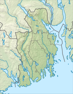
Larviksfjorden is a fjord in Larvik Municipality in Vestfold county, Norway. The 8-kilometre (5.0 mi) long fjord is about 3 kilometres (1.9 mi) wide at its mouth where it flows out into the Skaggerak. The fjord reaches a depth of 100 metres (330 ft) below sea level. The rivers Numedalslågen and Farriselva both discharge into the fjord. The towns Stavern and Larvik both border to the fjord. The two lighthouses Stavernsodden and Svenner are located near the mouth of the fjord.
See also
References
- Thorsnæs, Geir, ed. (8 June 2020). "Larviksfjorden". Store norske leksikon (in Norwegian). Kunnskapsforlaget. Retrieved 6 November 2023.
This article about a fjord in Norway is a stub. You can help Misplaced Pages by expanding it. |
This Vestfold location article is a stub. You can help Misplaced Pages by expanding it. |