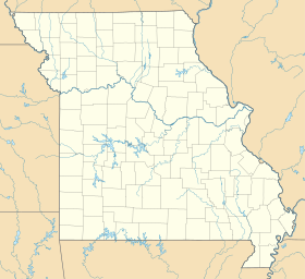
Loughboro is an unincorporated community in St. Francois County, in the U.S. state of Missouri. The community is located on the St. Francis River floodplain along Missouri Route B. Elvins is approximately four miles to the north and Doe Run is about three miles to the south-southeast.
History
A post office called Loughboro was established in 1870, and remained in operation until 1904. A variant spelling was "Loughborough". The community most likely takes its name from Loughborough, England.
References
- ^ U.S. Geological Survey Geographic Names Information System: Loughboro
- Missouri Atlas & Gazetteer, DeLorme, 1998, First edition, pp. 48-9, ISBN 0-89933-224-2
- "Post Offices". Jim Forte Postal History. Retrieved November 27, 2016.
- "St. Francois County Place Names, 1928–1945". The State Historical Society of Missouri. Archived from the original on June 24, 2016. Retrieved November 27, 2016.
| Municipalities and communities of Saint Francois County, Missouri, United States | ||
|---|---|---|
| County seat: Farmington | ||
| Cities |  | |
| Townships | ||
| CDPs | ||
| Other communities | ||
| Ghost towns | ||
| Footnotes | ‡This populated place also has portions in an adjacent county or counties | |
37°46′42″N 90°31′19″W / 37.77833°N 90.52194°W / 37.77833; -90.52194
This Saint Francois County, Missouri state location article is a stub. You can help Misplaced Pages by expanding it. |