| Native name: Майкан | |
|---|---|
   | |
| Geography | |
| Location | Danube, Chilia branch |
| Coordinates | 45°26′17″N 29°23′41″E / 45.43806°N 29.39472°E / 45.43806; 29.39472 |
| Length | 1.5 km (0.93 mi) |
| Width | 0.7 km (0.43 mi) |
| Administration | |
| Ukraine | |
| Demographics | |
| Population | 0 |
Maican Island (Ukrainian: Майкан, Romanian: Insula Maican) is a Ukrainian islet in the Danube.
Geography
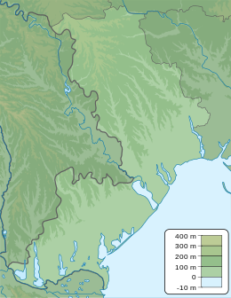
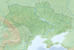
The area of the island is 0.6 km², with a length of 1.5 km along the Danube riverbed, and a maximum width of 0.8 km. To the south of the island is the state border between Ukraine and Romania, established by the Treaty on Good Neighborliness and Cooperation between the two countries. According to international law, state borders along a river are established along the fairway, unless the parties have agreed otherwise. However, the fairway that used to run between the islands of Maikan (Ukraine) and Babina (Romania) has become silted up. As a result, shipping now runs between Maikan and the Ukrainian coast. On this basis, in 2009. Romania expressed its territorial claims to the island in 2009.
The main reason for such claims is the huge losses Romania suffered after Ukraine put the Danube-Black Sea deepwater canal into operation. The transfer of the island to Romania will allow the Romanian authorities to regain control over the shipping corridor on this section of the Danube.
Romania's territorial claims to Ukraine are not limited to the island of Maikan. In 2004, Romania filed a lawsuit with the International Court of Justice to delimit the Black Sea shelf. As a result, Romania acquired about 9,000 km² or 79.34% of the disputed oil and gas shelf.
See also
References
- ^ Romanian source Archived 2010-04-18 at the Wayback Machine: 1500 by 800 meters. Ukrainian source: about one-and-a-half kilometers long and 600-800 m wide
- "Romanian Foreign Minister Teodor Baconschi: Statements made by Ukrainian mass media are ungrounded". Kyiv Post. 2010-04-17. Retrieved 2012-10-19.
| The Danube | ||
|---|---|---|
| Countries |  | |
| Cities | ||
| Tributaries | ||
| Canals | ||
| See also | ||
This article about a location in Odesa Oblast is a stub. You can help Misplaced Pages by expanding it. |