| This article needs additional citations for verification. Please help improve this article by adding citations to reliable sources. Unsourced material may be challenged and removed. Find sources: "Majevica" – news · newspapers · books · scholar · JSTOR (October 2021) (Learn how and when to remove this message) |
You can help expand this article with text translated from the corresponding article in Serbian. (January 2016) Click for important translation instructions.
|
| Majevica | |
|---|---|
 | |
| Highest point | |
| Peak | Stolice |
| Elevation | 916 m (3,005 ft) |
| Coordinates | 44°33′50″N 18°50′41″E / 44.56389°N 18.84472°E / 44.56389; 18.84472 |
| Dimensions | |
| Length | 50 km (31 mi) |
| Width | 25 km (16 mi) |
| Geography | |
 | |
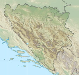
Majevica (Serbian Cyrillic: Мајевица, pronounced [mâjɛv̞it͡sa]) is a low mountain range in northeastern Bosnia and Herzegovina. It is situated between Semberija, Posavina, and Tuzla Canton. Its highest peak is Stolice, some 16 kilometres east of Tuzla, in the far southeastern part of the range. Most of the range is located in the Federation of Bosnia and Herzegovina and part of it is in Republika Srpska. It is mostly forested.
History
The area has been inhabited since prehistoric times, and is still populated today, with cities and towns located along the base of the range such as Srebrenik, Lopare, Čelić, Kalesija, and the regional center of Tuzla.