| This article includes a list of general references, but it lacks sufficient corresponding inline citations. Please help to improve this article by introducing more precise citations. (August 2024) (Learn how and when to remove this message) |
| Kaputjugh | |
|---|---|
 Kaputjugh Kaputjugh | |
| Highest point | |
| Elevation | 3,905 m (12,812 ft) |
| Prominence | 1,820 m (5,970 ft) |
| Isolation | 156.05 km (96.96 mi) |
| Listing | Ultra |
| Coordinates | 39°09′33″N 46°00′21″E / 39.15917°N 46.00583°E / 39.15917; 46.00583 |
| Geography | |
  | |
| Countries | Armenia and Azerbaijan |
| Parent range | Armenian Highlands |
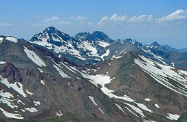
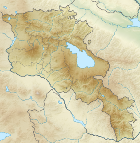
Kaputjugh (Armenian: Կապուտջուղ, lit. 'blue branch'; Azerbaijani: Qapıcıq, lit. 'small door, entrance') is the highest mountain in the Zangezur range, forming the border between the Nakhchivan Autonomous Republic of Azerbaijan and the Syunik Province of Armenia. It has an elevation of 3,905 metres (12,812 ft).
References
- ^ "European Russian and Caucasian States: Ultra-Prominence Page". peaklist.org. Retrieved 2012-02-18.
External links
- "Kapudzhukh Lerr, Armenia/Azerbaijan". Peakbagger.com.
- "RA SYUNIK MARZ" (PDF). Marzes of Armenia in Figures, 2002-2006. National Statistical Service of Armenia. Retrieved 14 July 2011.
- Qapıcıq (dağ) (PDF) (in Azerbaijani). Naxçıvan: AMEA Naxçıvan bölməsi. 2005. p. 596. ISBN 5-8066-1468-9.
| Mountains of Armenia | |
|---|---|
| Mountains in Azerbaijan | |
|---|---|
| Ultra-prominent peaks of Europe | |
|---|---|
| Scandinavia & Arctic | |
| Western Europe |
|
| Atlantic islands |
|
| Alps (List) |
|
| Apennines | |
| Eastern Europe |
|
| Balkans | |
| Mediterranean islands | |
| Caucasus | |
This Armenia location article is a stub. You can help Misplaced Pages by expanding it. |
This Nakhchivan Autonomous Republic location article is a stub. You can help Misplaced Pages by expanding it. |