| Native name: Wuna (Witeno Wuna) | |
|---|---|
 | |
| Geography | |
| Location | South East Asia |
| Coordinates | 5°00′S 122°30′E / 5.0°S 122.5°E / -5.0; 122.5 |
| Area | 3,219.84 km (1,243.19 sq mi) |
| Highest elevation | 250 m (820 ft) |
| Highest point | Unnamed |
| Administration | |
| Province | |
| Largest settlement | Raha (pop. 55,730) |
| Demographics | |
| Population | 368,654 (2020) |
| Pop. density | 114.5/km (296.6/sq mi) |
| Ethnic groups | Muna people, Butonese people, Bugis, Javanese |
| Additional information | |
| Time zone |
|

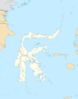
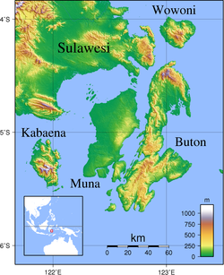
Muna (Pulau Muna) is an island in the Southeast Sulawesi province of Indonesia with an area of 3,219.84 km (1,243.19 sq mi) and had a population of 316,293 at the 2010 Census and 368,654 at the 2020 Census. It is just southeast of the island of Sulawesi and west of Buton Island. It currently comprises most of three administrative regencies within the province: Muna Regency (Kabupaten Muna), West Muna Regency (Kabupaten Muna Barat), and Central Buton Regency (Kabupaten Buton Tengah).
| Kabupaten | Area in km |
Pop'n Census 2010 |
Pop'n Census 2020 |
comprising |
|---|---|---|---|---|
| Muna Regency (part) | 1,627.89 | 172,435 | 187,917 | all districts except Towea (a group of islands north of Muna), and Pasih Putih, Pasi Kolaga, Wakorumba Selatan, Batukara and Maligano (five districts which lie on Buton Island) |
| West Muna Regency (part) |
844.23 | 66,769 | 78,906 | all districts except Tiworo Utara (a group of islands northwest of Muna) |
| Central Buton Regency (part) |
747.72 | 77,089 | 101,831 | all districts except Talaga Raya (which lies on Kabaena Island to the west) |

References
- Biro Pusat Statistik, Jakarta, 2011.
- Badan Pusat Statistik, Jakarta, 2021.
- Biro Pusat Statistik, Jakarta, 2011.
- Badan Pusat Statistik, Jakarta, 2021.