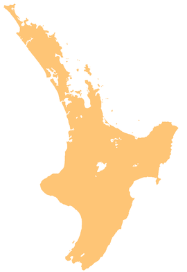
River in New Zealand
| Ngatiawa River | |
|---|---|
| Route of the Ngatiawa River | |
  | |
| Location | |
| Country | New Zealand |
| Physical characteristics | |
| Source | |
| • location | Tararua Range |
| • coordinates | 40°57′31″S 175°09′33″E / 40.95848°S 175.15906°E / -40.95848; 175.15906 |
| Mouth | |
| • location | Waikanae River |
| • coordinates | 40°53′52″S 175°05′41″E / 40.89766°S 175.0947°E / -40.89766; 175.0947 |
| Basin features | |
| Progression | Ngatiawa River → Waikanae River → Rauoterangi Channel → South Taranaki Bight → Tasman Sea |
| Landmarks | Tararua Forest Park, Reikorangi |
The Ngatiawa River is a river on the Kāpiti Coast of New Zealand's North Island that is a major tributary of the Waikanae River. Its headwaters are in the Tararua Range and it flows north and northwest through the Akatarawa Valley to Reikorangi, where it meets the Waikanae River.
A 27-metre-long Howe truss bridge was built across the river in 1912 and 1913. It collapsed in 2017.
References
- "Place name detail: Ngatiawa River". New Zealand Gazetteer. New Zealand Geographic Board. Retrieved 23 April 2010.
- "Historic bridge collapses on Kāpiti Coast, leaves beams, debris in river". The Dominion Post. 12 October 2017. Retrieved 15 December 2024.
| Kāpiti Coast District and Kapiti Urban Area, New Zealand | |||||||||
|---|---|---|---|---|---|---|---|---|---|
| Seat: Paraparaumu | |||||||||
| Populated places |
| ||||||||
| Geographic features | |||||||||
| Facilities and attractions |
| ||||||||
| Government | |||||||||
| Organisations | |||||||||
This article about a river in the Wellington Region is a stub. You can help Misplaced Pages by expanding it. |