 | |
| Geography | |
|---|---|
| Location | South Pacific |
| Coordinates | 7°16′22.8″N 134°25′30.01″E / 7.273000°N 134.4250028°E / 7.273000; 134.4250028 |
| Archipelago | Rock Islands |
| Area | 18.62 km (7.19 sq mi) |
| Coastline | 91.55 km (56.887 mi) |
| Highest elevation | 215 m (705 ft) |
| Administration | |
| Palau | |
| State | Koror |
| Demographics | |
| Population | 0 |
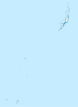
Ngeruktabel is an island of the Koror state of Palau in the South Pacific.
Geography and history
Ngeruktabel is the second largest island of Palau and the largest one of the Rock Islands. Like other Rock Islands, Ngeruktabel is uninhabited today. However, the local oral history identifies at least five ancient villages existing in the late prehistoric times. The local population migrated northward to Koror and Babeldaob. Depopulation is recorded as being primarily associated with the warfare.
References
- "Ngeruktabel Island island, Koror, Palau". pw.geoview.info. Retrieved 8 April 2021.
- "Ngeruktabel: The Bait Grounds of Rock Islands Palau (KSLOF)". Living Oceans Foundation. 19 January 2015. Retrieved 8 April 2021.
- ^ "The Rock Islands: Southern Lagoo" (PDF). Retrieved 8 April 2021.
External links
| Koror | ||
|---|---|---|
| Flag • Governor • Ibedul | ||
| Islands | ||
| Bodies of water & reefs | ||
| Cities, towns & villages | ||
| Buildings and structures | ||
This Palau location article is a stub. You can help Misplaced Pages by expanding it. |