| Nizhny Palnik Нижний Пальник | |
|---|---|
| Selo | |
  | |
| Coordinates: 57°37′N 56°18′E / 57.617°N 56.300°E / 57.617; 56.300 | |
| Country | Russia |
| Region | Perm Krai |
| District | Permsky District |
| Time zone | UTC+5:00 |
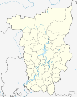
Nizhny Palnik (Russian: Нижний Пальник) is a rural locality (a selo) and the administrative center of Palnikovskoye Rural Settlement, Permsky District, Perm Krai, Russia. The population was 787 as of 2010. There are 19 streets.
Geography
Nizhny Palnik is located on the Babka River, 59 km south of Perm (the district's administrative centre) by road. Chelyaba is the nearest rural locality.
References
- Карта Пермского района Пермского края
- "Численность и размещение населения Пермского края". permstat.gks.ru. Archived from the original on 2014-09-10. Retrieved 2019-04-21.
- Расстояние от Нижнего Пальника до Перми
This Permsky District location article is a stub. You can help Misplaced Pages by expanding it. |