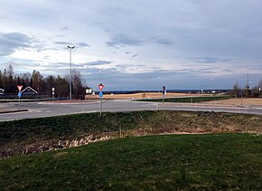
Road in Ullensaker, Norway
| This article does not cite any sources. Please help improve this article by adding citations to reliable sources. Unsourced material may be challenged and removed. Find sources: "Norwegian County Road 178" – news · newspapers · books · scholar · JSTOR (September 2023) (Learn how and when to remove this message) |
 County Road 178
 | |
|---|---|
| Bokmål: Fylkesvei 178 Nynorsk: Fylkesveg 178 | |
 | |
 | |
| Route information | |
| Length | 11.1 km (6.9 mi) |
| Location | |
| Country | Norway |
| Highway system | |
| |
County Road 178 (Norwegian: Fylkesvei 178 or Fv178) runs between Eltonåsen in Nannestad and Jessheim in Ullensaker, Norway. The road is 11.1 kilometers (6.9 mi) long. Prior to 1 January 2010, the road was a national road, but after reclassification, it became a county road.
60°07′59″N 11°05′31″E / 60.13306°N 11.09194°E / 60.13306; 11.09194
This Norwegian road or road transport-related article is a stub. You can help Misplaced Pages by expanding it. |