| This article relies largely or entirely on a single source. Relevant discussion may be found on the talk page. Please help improve this article by introducing citations to additional sources. Find sources: "Palo Alto, Aguascalientes" – news · newspapers · books · scholar · JSTOR (June 2024) |
| Palo Alto | |
|---|---|
| Town | |
| Nickname: Palo Ranch | |
  | |
| Coordinates: 21°55′N 101°58′W / 21.917°N 101.967°W / 21.917; -101.967 | |
| Country | |
| State | Aguascalientes |
| Municipality | El Llano |
| Population | |
| • Total | 5,399 |
| Time zone | UTC-6 (Central Standard Time) |
| • Summer (DST) | UTC-5 (Central Daylight Time) |
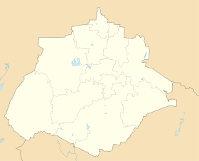
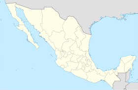
Palo Alto is a town in the Mexican state of Aguascalientes. It stands at 21°55′N 101°58′W / 21.917°N 101.967°W / 21.917; -101.967. It serves as the municipal seat for the surrounding municipalities of El Llano.
As of 2010, Palo Alto had a total population of 5,399.
References
- "El Llano". Catálogo de Localidades. Secretaría de Desarrollo Social (SEDESOL). Retrieved 23 April 2014.
External links
This article about a location in the Mexican state of Aguascalientes is a stub. You can help Misplaced Pages by expanding it. |
