| Parit Bunga | |
|---|---|
| Other transcription(s) | |
| • Jawi | ڤاريت بوڠا |
| • Chinese | 巴力文莪 |
 Parit Bunga Parit Bunga | |
   | |
| Coordinates: 2°05′57″N 102°33′14″E / 2.09911°N 102.55396°E / 2.09911; 102.55396 | |
| Country | |
| State | |
| District | Tangkak |
| Mukim | Mukim |
| Elevation | 7 m (23 ft) |
| Time zone | UTC+8 (MYT) |
| Postal code | 84400 |

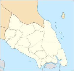
Parit Bunga (Jawi: ڤاريت بوڠا; Chinese: 巴力文莪) is a small town in Mukim Kesang, Tangkak District, Johor, Malaysia. It is located on the Muar River and on the intersection between the roads to Malacca and Tangkak.
References
- "3,000 dapat sumbangan - Johor - Utusan Online". www.utusan.com.my. Archived from the original on 2015-07-03.
| State of Johor | |||||||||||||||
|---|---|---|---|---|---|---|---|---|---|---|---|---|---|---|---|
| |||||||||||||||
| General topics |
|  | |||||||||||||
| Administrative divisions |
| ||||||||||||||
| City councils (Majlis Bandaraya) |
| ||||||||||||||
| Municipal councils (Majlis Perbandaran) |
| ||||||||||||||
| District councils (Majlis Daerah) |
| ||||||||||||||
This Johor location article is a stub. You can help Misplaced Pages by expanding it. |