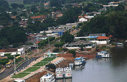
Municipality in North, Brazil
Pimenteiras do Oeste is a municipality located in the Brazilian state of Rondônia . Its population was 2,148 (2020) and its area is 6,015 km.
The municipality contains 52% of the 384,055 hectares (949,020 acres) Corumbiara State Park , created in 1990.
See also
References
IBGE 2020
IBGE - PES de Corumbiara
Categories :
Text is available under the Creative Commons Attribution-ShareAlike License. Additional terms may apply.
**DISCLAIMER** We are not affiliated with Wikipedia, and Cloudflare.
The information presented on this site is for general informational purposes only and does not constitute medical advice.
You should always have a personal consultation with a healthcare professional before making changes to your diet, medication, or exercise routine.
AI helps with the correspondence in our chat.
We participate in an affiliate program. If you buy something through a link, we may earn a commission 💕
↑

 Flag
Flag Coat of arms
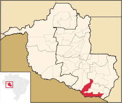
 Location in Rondônia state
