| Puʻu Hawaiʻiloa | |
|---|---|
 A photo of Pu'u Hawai'iloa by Marine Corps Base Hawaii A photo of Pu'u Hawai'iloa by Marine Corps Base Hawaii | |
| Highest point | |
| Elevation | 337 ft (103 m) |
| Coordinates | 21°26′53″N 157°45′24″W / 21.44806°N 157.75667°W / 21.44806; -157.75667 |
| Geography | |
 | |
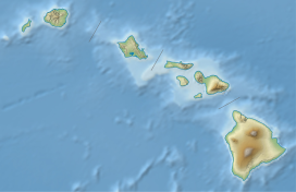
| Location | Honolulu County, Hawaii, United States |
| Geology | |
| Mountain type | Cinder cone |
| Last eruption | 450,000 - 420,000 |
Puʻu Hawaiʻiloa is a cinder cone located in Honolulu County, Hawaii on the Mokapu Peninsula.
Much like neighboring Ulupaʻu Crater. it formed as a vent of the Koʻolau Range during the Honolulu Volcanic Series. The material of the cone is nepheline basalt. Puʻu Hawaiʻiloa is used by Marine Corps Base Hawaii and the Wailuku Community Center is next to it.
See also
References
- "Puu Hawaiiloa". Mapcarta. Retrieved 2020-08-06.
- ^ "Geolex — Hawaiiloa publications". ngmdb.usgs.gov. Retrieved 2020-08-06.
- "Military Homes | Ohana Military Communities - Marines | Waikulu". www.ohanamarinecorpscommunities.com. Retrieved 2020-08-06.
This Hawaiʻi state location article is a stub. You can help Misplaced Pages by expanding it. |